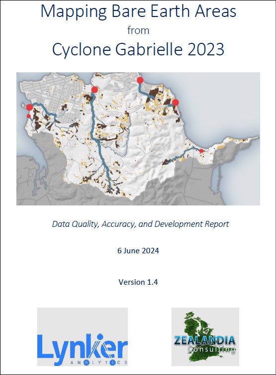
Mapping bare earth areas from Cyclone Gabrielle 2023. Data quality, accuracy and development report
Author:
Lynker Analytics, Zealandia Consulting, D Young, D Bull, D Knox, D IngersonSource:
Lynker Analytics, Zealandia Consulting, Auckland CouncilPublication date:
2024Topics:
Environment ,TransportExtract from the Executive summary
This report documents a GIS analysis specifically developed to identify potential sediment sources, exposure, and deposition, caused by the 2023 Cyclone Gabrielle (Image 2), for five pilot catchments in the Auckland region. One of the key objectives of this pilot project was to utilise the generated Pre- and Post-Gabrielle Bare Earth Coverage to inform the development of planning, policy, and environmental initiatives, focused on sediment source and potential effects. This is required to improve the overall condition and quality of receiving aquatic environments and serves to meet multiple existing strategic requirements.
Additionally, the project aimed to create outputs that could be easily updatable and relevant to other key datasets (e.g. overland flow paths, rainfall, land parcels) and be able to provide several strategic uses to support near real-time management of natural systems and associated infrastructure, while providing a key guiding resource for policy planners.
In the Auckland region, Lynker Analytics (Lynker) has been refining a landcover classification for 2008, 2017, 2023 (imagery), using various aerial photographic formats and scales. This has informed the definition of “bare earth” for the purposes of this pilot study and the use of the outputs in strategic planning for the Auckland Region. Here, “bare earth” is defined as “exposed soils, unconsolidated gravels or road materials, or sand, or deposited sediments, or sparsely vegetated ground, or tilled earth”. These areas were defined and mapped from pre- and post-cyclone satellite imagery using imagery analysis techniques and machine learning.
This analysis also built upon previous work undertaken by Lynker in 2023. More specifically, Lynker developed the Sediment Sources Rapid Identification and Management System (SSRIMS) methodology. The SSRIMS was piloted on the Rodney region in 2023 and used the “bare earth coverage” to identify unsealed roads within high-risk environments (including proximity to bare-earth areas). Those identified areas could then be prioritised for management, through the Unsealed Roads Improvement Framework that Auckland Transport leads.
Key strategic benefits from this work include:
- Providing the geospatial stepping stones through high resolution aerial imagery analysis to classify areas of bare earth to help support a more cohesive, cost effective, and performance driven response to Regional Sediment Management.
- Generating Pre- and Post-Gabrielle Bare Earth Coverage to inform the development of planning, policy, and environmental initiatives, focused on sediment source and effects.
- Providing a “first cut” spatial plan for engagement with landowners, which serves to prioritise areas to improve the overall condition and quality of receiving environments by managing potential sediment runoff, slipping, and transport.
- Providing a Regional Coverage and a set of customisable GIS Tools to meet requirements set out in the National Policy Statement for Freshwater Management (NPS-FM).
- Applying these customisable GIS Tools to a) assess how effective management strategies were at increasing resilience to flooding and/or reducing/preventing erosion following significant weather events, and b) to form a strong base to test how fit for purpose future Action Plans are. ...
Lynker Analytics, Zealandia Consulting, Auckland Council, June 2024.
See also:
Auckland Council GIS maps
Auckland Sediment Sources Viewer – Cyclone Gabrielle Bare Earth Pilot Study
*****
Auckland Council unsealed roads. Data quality, accuracy and summary report
