Measuring Auckland's population density
Author:
Craig FredricksonSource:
Auckland Council Research, Investigations and Monitoring Unit, RIMUPublication date:
2014Topics:
PeopleExecutive summary
Population density refers to the relationship between people and land or space. Population density is a factor in understanding how city areas function and it is linked population related topics such as health, economics and sustainability.
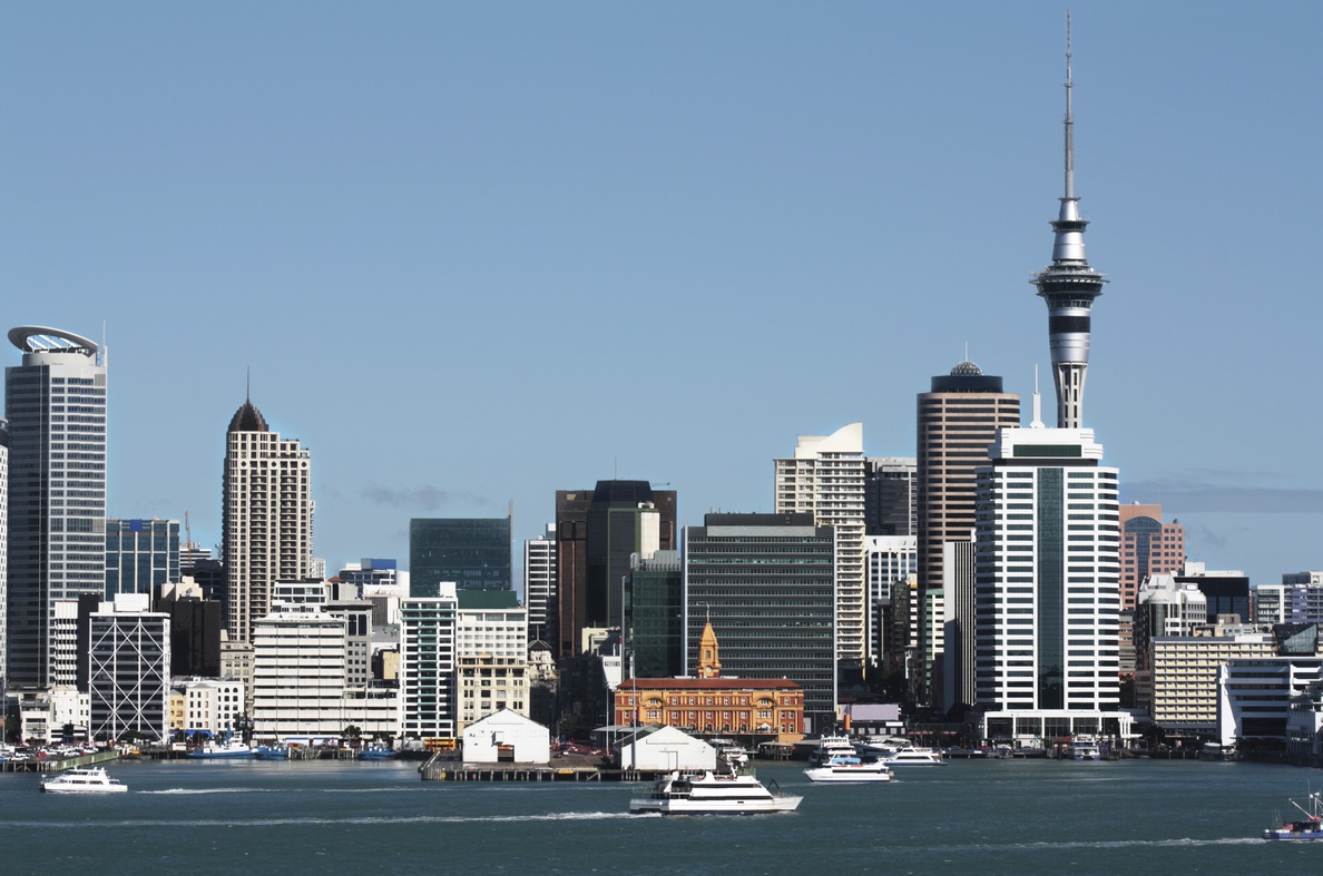
In Auckland, population density can be measured for a number of spatial areas, including the region as a whole (the Auckland Council territorial area) and for sub-regional areas such as the urbanised area and even local boards or smaller.
The methodology used to calculate densities and the geographic areas used for density calculations are outlined in this report.
In summary, the key population density results are as follows:
- The population density for the Auckland region is 3.1 people per hectare (when using 2013 population estimates).
- The population density for the Auckland urbanised area is 24.9 people per hectare (when using 2013 census population counts).
While comparisons are required to be made between Auckland and other cities and districts within New Zealand and overseas locations, not all comparisons are equal, and care should be taken when comparing. Maps and tables of densities for Auckland and other areas are included in the appendices of this report.
Auckland Council, May 2014