Habitat mapping and sediment characterisation of Matakana River Estuary, 2026
Author:
Orlando Lam-Gordillo, Sarah Hailes, Kelly Carter, Reuben Hattingh, Earth Sciences New ZealandSource:
Auckland Council Environmental Evaluation and Monitoring Unit, EEMU | Earth Sciences New ZealandPublication date:
2026Topics:
EnvironmentExecutive summary
Estuaries are among the most productive environments on earth. However, at the interface of land and sea they face many pressures, particularly as the receiving environment for run-off from different land uses and direct discharges. Mapping of habitats within estuaries is an important step in understanding the biodiversity values and ecological functions of an estuary, to help inform management decisions related both to the estuary and to the catchment surrounding it.
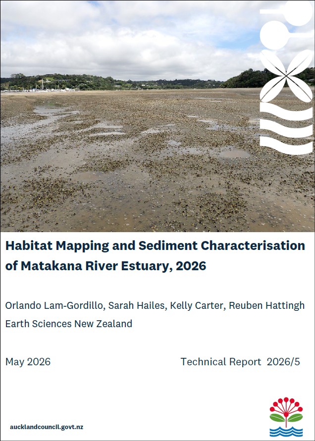
A rapid habitat assessment technique that has been developed, tested, and applied previously in several estuaries across New Zealand, and shown to be accurate, was carried out in Matakana Estuary on the east coast of the Auckland region.
This report documents the application of that assessment, providing a detailed description of the methods used and the resulting habitat classification. This report also describes the sedimentary conditions of the top 2 cm of sediment (i.e., sediment chlorophyll a, phaeopigments, organic matter content, and particle size distribution) across 60 sampling sites in Matakana Estuary. A short literature review on the environmental information available for Matakana Estuary was performed and a summary of the findings is presented in this report.
The rapid habitat mapping identified 11 habitat classes across Matakana Estuary. Mangroves, High Density Burrows, and Mounds and Pits were the habitat classes that covered most of the area surveyed within the estuary. A relatively large spatial extent of Seagrass habitat was recorded in the lower section of the estuary, yet the structural characteristics of the seagrass meadow suggest a deteriorated condition. High Density Cockles, High Density Crabs and Cockles, and High Density Oysters covered a small proportion of the total surveyed area (<6%) within Matakana Estuary.
Chlorophyll a and phaeopigments concentrations were consistently low across Matakana Estuary, suggesting no clear symptoms of eutrophication at a system-wide scale. However, localised high concentrations of Chlorophyll a and phaeopigments near freshwater entry points were identified. Organic matter and mud content in the sediments across Matakana Estuary were also higher near freshwater inputs and in the poorly flushed northern reaches of the estuary. The lowest OM and mud content were recorded in the middle and lower portions of estuary, closer to the mouth.
This report presents the first rapid habitat assessment of Matakana Estuary, generating information on the extents of intertidal habitats that contribute to ecosystem functioning that can be used to inform catchment management planning. The standardised methods used to survey Matakana enabled the identification of habitat types and conditions present at the time of the survey and can be repeated in the future. Thus, the baseline provided by the 2026 survey supports efforts to detect habitat change over the longer-term and informed management under increasing human and climate pressures.
Auckland Council technical report, TR2026/5
Auckland Council, Earth Sciences New Zealand, May 2026