Auckland’s exposure to coastal inundation by storm-tides and waves
Author:
Natasha Carpenter, Ross Roberts, Paul KlinacSource:
Auckland CouncilPublication date:
2021Topics:
EnvironmentExtract
1.0 Introduction
1.1 Background
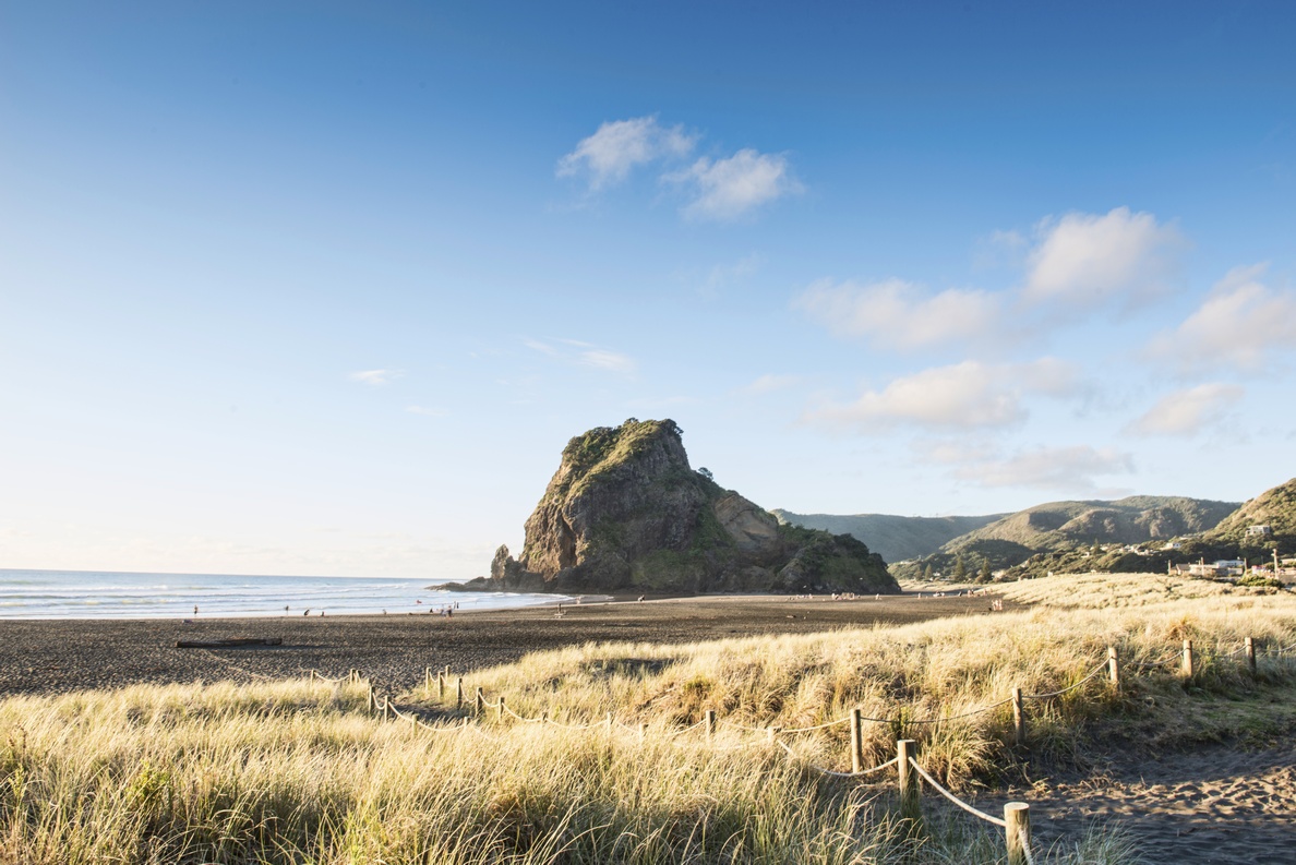
Bounded on the east by the South Pacific Ocean and on the west by the Tasman Sea, Auckland has 3,200 km of dynamic coastline that includes three major harbours. As well as a long and diverse coastline, Auckland has the largest population density to coastline ratio in New Zealand which means that the city has a high exposure to coastal hazards including coastal inundation. Coastal inundation is the flooding of normally dry, low-lying coastal land due to extreme high water levels. Extreme sea levels can result from several processes including astronomical tides, monthly mean sea level anomalies, and storm-surge. In areas of open coast, waves during certain conditions can also raise the effective sea level.
Coastal inundation is a natural process which becomes a hazard when valuable assets, such as houses and infrastructure, are flooded. The risk from inundation is increasing over time because of climate change induced sea-level rise and because of increasing development in low-lying coastal areas. Under the Resource Management Act and NZ Coastal Policy Statement (2010), Auckland Council is tasked with identifying and managing this hazard. The Auckland Unitary Plan (Chapter E36, Activity Control A12), which sets out controls on land-use in the Auckland region, also contains specific requirements for developments located within the flooding zone for a 1-in-100 year plus 1 m sea level rise inundation event.
1.2 Purpose
Auckland Council has commissioned a series of studies focusing on understanding extreme highwater values across the region along the city’s coastline to provide:
- A better understanding of the potential extent of coastal flooding and the risk extreme events pose to Auckland
- Data to inform the calculation of appropriate habitable floor levels for developments within the inundation zone
- Data to inform coastal asset management including renewals, replacements, or potential relocations.
2.0 Reports
This technical report collates four separate pieces of work, completed between 2013, 2019, 2020 which are included as Parts 1, 2, 3, and 4. This Auckland Council Overview provides context for each of the studies commissioned and gives detail on how this information is used. ...
*****
The report includes:
1. Coastal inundation by storm-tides and waves in the Auckland region
National Institute of Water and Atmospheric Research Ltd, NIWA, September 2013
2. Technical report: coastal-storm inundation in the Auckland region - supplementary information. Updated coastal-storm exposure at Parakai and re-mapping of eastcoast estuaries
National Institute of Water and Atmospheric Research Ltd, NIWA, March 2016
3. Coastal inundation levels by storm-tides and waves at Great Barrier Islands
National Institute of Water and Atmospheric Research Ltd, NIWA, November 2019
4. Technical report: Parakai/Helensville Coastal Flood inundation numerical modelling
DHI, February 2020
*****
Auckland Council technical report, TR2020/024.
Published February 2021