Auckland region landslide susceptibility assessment May 2025
Author:
Rebekah McLelland, Ross Roberts, Ellie Eastaugh, Kuba Rozmus, Harley Porter, Melissa Goldsworthy, Jiten Patel, Danielle Barnhill, Doug Mason, Aaron George, P Brabhaharan, WSPSource:
Auckland Council Engineering Assets and Technical Advisory Department | WSPPublication date:
2025Topics:
EnvironmentExecutive summary
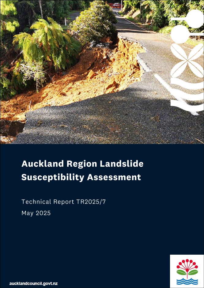
Landslides are one of New Zealand's - and Auckland's - most significant natural hazards. Auckland Council has a range of strategies to proactively manage the risk from natural hazards and enhance the resilience of the region to these hazards, including landslides. As experienced in the 2023 storm events, landslides present a life safety risk, adversely affect property and infrastructure, and may damage or destroy cultural and environmental sites.
This summary report introduces a more detailed study that was undertaken across the full Auckland region to understand areas susceptible to landslides. This work was undertaken to improve our (and Aucklanders) understanding and mapping of landslide hazards across the region, and to inform more effective land use planning and planning decisions.
Landslide susceptibility models analyse different terrain features to show where landslides are more or less likely to occur. This gives us an understanding of 'what could go wrong where' (susceptibility) but not 'how often might this occur' (hazard).
The purpose and outcomes of this analysis and mapping is to:
- Provide information and collective understanding on the distribution of landslide-susceptible areas across the region, so that this can be taken into consideration in proactive land use, growth and infrastructure planning.
- Help facilitate the development of district planning regulations to allow proactive management of the risks associated with development.
- Aid and enhance regional emergency response planning.
In most cases, the best way to manage the risk from landslides is to avoid building in areas of higher risk. While the risk can be engineered out in some cases, doing this is costly and not always effective. This study does not provide information at a level of detail appropriate for supporting the design of engineering solutions for land instability. However, it can be used to identify areas where caution should be applied and where further assessment would be appropriate.
Auckland Council technical report, TR2025/7
Part 1 of this report provides a less technical introduction to the more detailed Auckland landslide susceptibility study technical report 2025, WSP 2025, included in Part 2, from page 33.
Auckland landslide susceptibility study technical report 2025, WSP 2025
Executive summary
Auckland Council has a strategy to proactively manage the risk from natural hazards and enhance the resilience of the region to such hazards. The Auckland Region includes significant areas of steep terrain that are underlain by materials that can be prone to slope failure, and recent large storms have caused significant and widespread impacts from landsliding. Auckland Council is aiming to improve the understanding and mapping of landslide hazards across the region. This study has been prepared as part of this programme and provides a regional scale assessment of landslide susceptibility consistent with a ‘Level A’ analysis under the GNS Science (2024) Landslide Planning Guidance (de Vilder et al., 2024).
The methodology of the study aligns with the ‘Basic’ level assessment described in the Australian Geomechanics Society Guideline for Landslide Susceptibility, Hazard and Risk Zoning (AGS, 2007a). The study area consists of the Auckland regional boundary, including the Hauraki Gulf islands.
In assessing the susceptibility of the region to landslides we have differentiated two key types of landslides: (1) shallow landslides and debris flows, and (2) large-scale, slow-moving or relict landslide features. Consideration and mapping of these two landslide types was carried out separately because they differ considerably in terms of the scale, frequency of occurrence, the type and extent of impacts, and the susceptibility characteristics of the geological formations within the region.
The primary objective of this study is to map areas susceptible to landslides across the Auckland Region for land use planning. To highlight these areas, we have compiled an inventory of previous landslides across the region, identified and assessed variables that influence slope stability, and combined these to develop landslide susceptibility maps. Statistical analysis of the landslide inventory, local site conditions, and professional judgement were used to inform the relative importance of specific variables to landslide susceptibility. This was completed using logistic regression for the shallow landslide susceptibility analysis and heuristic assessment for the largescale landslide susceptibility.
Five categories of landslide susceptibility are described, from Very Low to Very High, and these are mapped across the region in GIS showing the spatial distribution and extent of the different susceptibility categories. The maps do not present potential areas of regression and runout of landslide debris, as these have not been assessed at this stage. The maps are suitable for use at 1 : 25,000 scale for shallow landslide susceptibility and 1 : 50,000 scale for large-scale landslide susceptibility. The maps should be used at scales appropriate for this regional-scale assessment, and where made available to the public through the Council GIS viewer the scales at which they can be viewed should be restricted.
Recommendations for follow on actions and future enhancements are provided, including review and update of the maps when new data becomes available, refinement of the mapping to a finer resolution, and assessment of regression and runout in areas which could be impacted by landslides. It is also proposed that the maps be used in future land use planning, urban growth strategies and plan change proposals to manage the risks from landslide hazards. The maps could also be useful for the Council’s infrastructure departments and should be made available for other government and private infrastructure owners to understand the resilience of the services provided.
The maps would also be valuable for planning for civil defence emergency response.