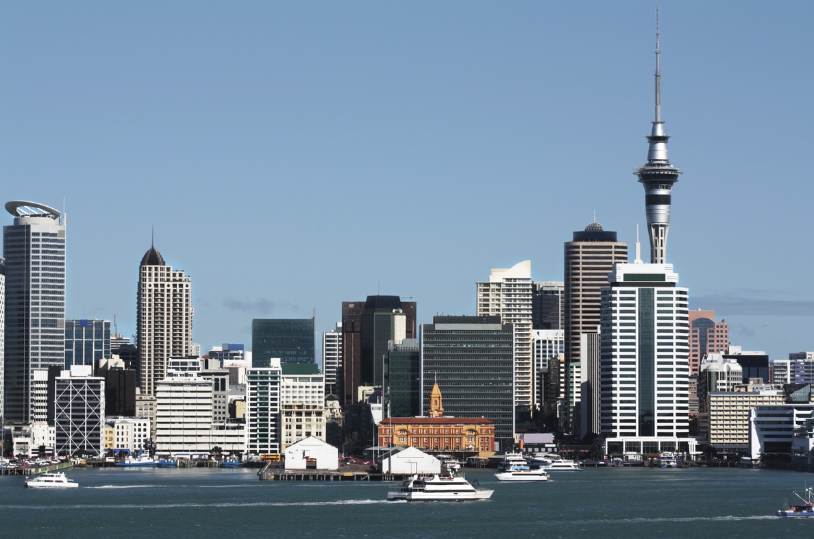
Cities are dynamic places that are constantly evolving and Auckland is no exception. Since the city's beginnings in the 1840s as a cluster of modest dwellings and businesses around the trading ports at Commercial Bay (now the base of Queen Street) and at Onehunga, the built (urban) area in the Auckland region has expanded to over 45,000 hectares, now stretching from Orewa in the north to Papakura in the south, and to the foothills of the Waitakere Ranges in the west.
This report identifies the major drivers behind the growth in suburbs - including infrastructure provision, state housing and in later decades, major planning decisions. A key feature of the report is the inclusion of a comprehensive series of growth maps that show changes over time.
A brief history of Auckland's urban form
See also